Exploration of Lake Vouliagmeni, Attica, 2003
2003
Hellas Underwater Explorers - ΕΞΕΡΕΥΝΗΣΗ λιμνησ ΒΟΥΛΙΑΓΜΕΝΗΣ 2003
Άρθρο: Γιώργος Πέτρου
Light: Unknown
Info: Vasilis Giannopoulos & Wikipedia
The Hellas Underwater Explorers exploration team once again carried out dives in the cave of Vouliagmeni, Attica.
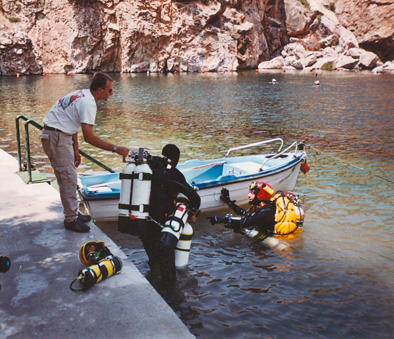
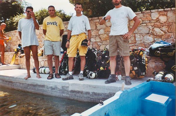
The team consisting of George Petrou (mission leader), George Vandoros, Stavros Oktapodas reached 80 meters deep. For George Vandoros and Stavros Oktapodas it was their maiden dive in Vouliagmeni. Vasilis Mavros was at a shallower depth. The dives were carried out with complete success and the uniqueness of this cave was revealed once again.
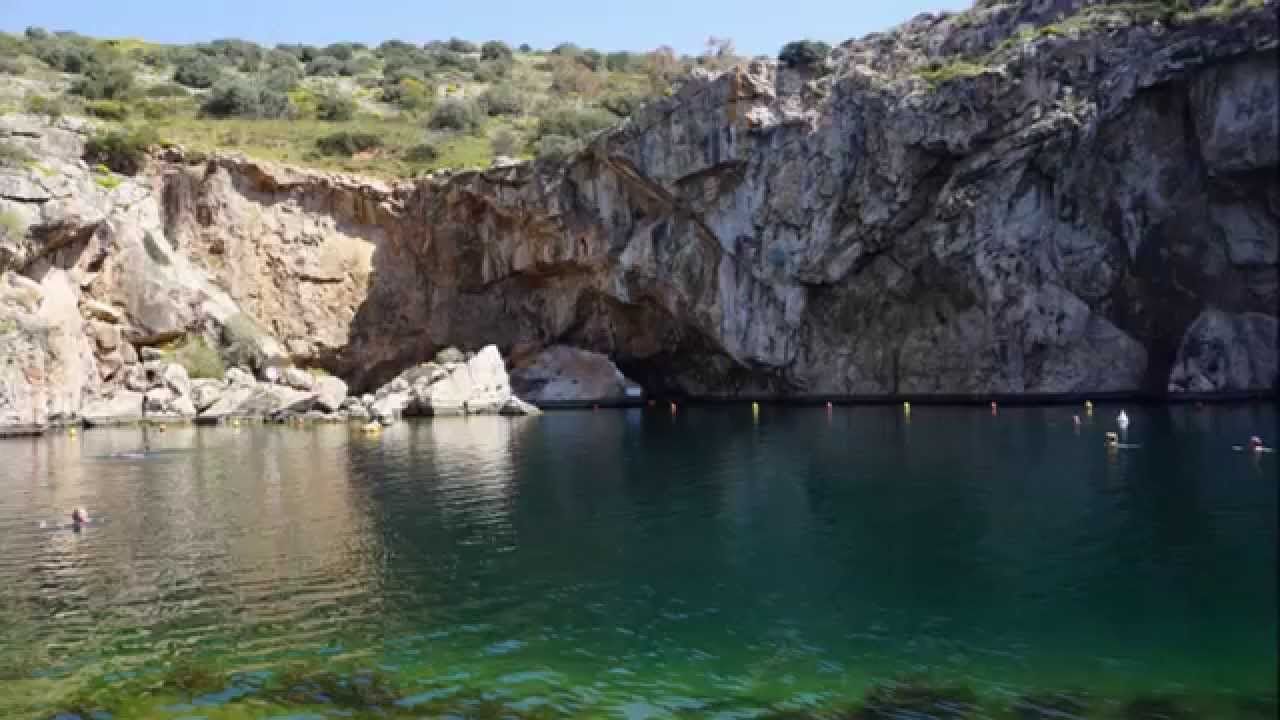
Its exploration and study began in 1989 by the Ephorate of Paleoanthropology-Spelaeology, in collaboration with an international team of cave divers. The entrance to the cave is located at a depth of 16 m, on the north side of Lake Vouliagmeni. Its main axis is oriented North-South. Smaller chambers are opened on the sides of the main cave and usually follow the directions of the faults and fractures of the rock.
ΣΠΗΛΑΙΟ - ΔΟΛΙΝΗ Βουλιαγμένης Αττικής
It is located approximately 21 km. SE. of Athens, on the slopes of Mount Hymettus. Its exploration and study began in 1989 by the Ephorate of Paleoanthropology-Spelaeology, in collaboration with an international team of cave divers. The cave is carved into metamorphic limestone (lower marble) and is now completely submerged by water. Its average depth ranges from -60 to -100 m., with the lowest ceiling point at -105 m.
Επιστημη και Σπηλαιοκαταδυση
Speleology is the branch of geological science that deals with the study of caves as natural phenomena. The causes of their creation, their morphology and the sediments contained in them are the most basic units studied by this branch of geology. The research of caves begins with the geological study. This allows one to form a general first picture in order to plan the method of exploration and the materials that will be needed. In addition, the geological study is a great help and prerequisite for other studies that may follow, such as paleontological, biological, archaeological, etc. The morphology of a cave contributes to the creation of a peculiar and almost stable environment within it. All the important events and changes that occurred, both inside the cave and in the wider external space, have been recorded in its sediments. The preservation of all these elements over time can be little affected by any internal or external change (weather conditions, etc.). Thus, their study today by expert scientists gives a complete picture of the evolution and geological changes. Quite rightly, therefore, some have called caves "a window into the past". Tectonic movements, but also eustatic changes in sea level are among the main reasons why many caves in Greece have been completely or partially flooded by water. The exploration and study of these caves until a few years ago was impossible. Today, however, the development of diving techniques and sports speleology laid the foundations for a new exploration technique, Cave Diving. Three of the main cave diving and study programs of the corresponding caves, although still in progress, have yielded significant results
Underwater cave entrance
The total length of the corridors explored to date is 3,123 m. The furthest point is located 788 m. from the entrance, in a straight line, north, below the building blocks of the homonymous city. The study of the morphology and hydrology of the cave leads to the conclusion that the main speleogenesis took place at an older level of the aquifer.
VOULIAGMENI - Section along the development of the cave
The result of the cave's morphology, tectonics, stratigraphy, type of limestone and, more generally, positive conditions for speleogenesis are the large, old and new, detachments and collapses observed in the cave. The mixing of fresh water with seawater, which penetrates through the fractures of the limestone, was observed to take place at a depth of -16 to -40 m. At approximately the same depths, small changes in water temperature are also observed, which stabilizes from -40 m. and below at 27° C. The identification, moreover, of decoration and travertine-like deposits provides evidence for the existence of a dry environment in earlier times and, more generally, for the paleomorphology of the area. Simultaneously with the exploration and study of the underwater cave, a surface reconnaissance of the morphology of the wider area was carried out. Taking into account previous data, in combination with the on-site research, the already known karst depressions, the cave abyss "German" and the underwater karst conduit, known as "Pigadi", were identified. The research also proceeded to identify many other small depressions, but mainly four sinkholes. Perhaps the most important element that emerged was that all these underground and surface karst depressions have been created along a straight line in a North-South direction and belong to the same Karst system.


